Document
Identifier:
M-0019
Description
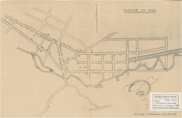
Dundas in 1836
Additional Information
This item consists of a map of Dundas circa 1836. It includes street locations, bodies of water, and buildings. It provides no names or textual annotations. It was created by Robert W. Kerr in 1836, and was copied by T.R. Woodhouse in 1947.
Physical Description
1 map : reproduction
Date:
May 19 1947
Creator:
Robert W. Kerr, Secretary D.C. Co.;T.R. Woodhouse